-
1962 (ACT 151)Registration
-
SustainableSolutions
-
QualifiedProfessionals
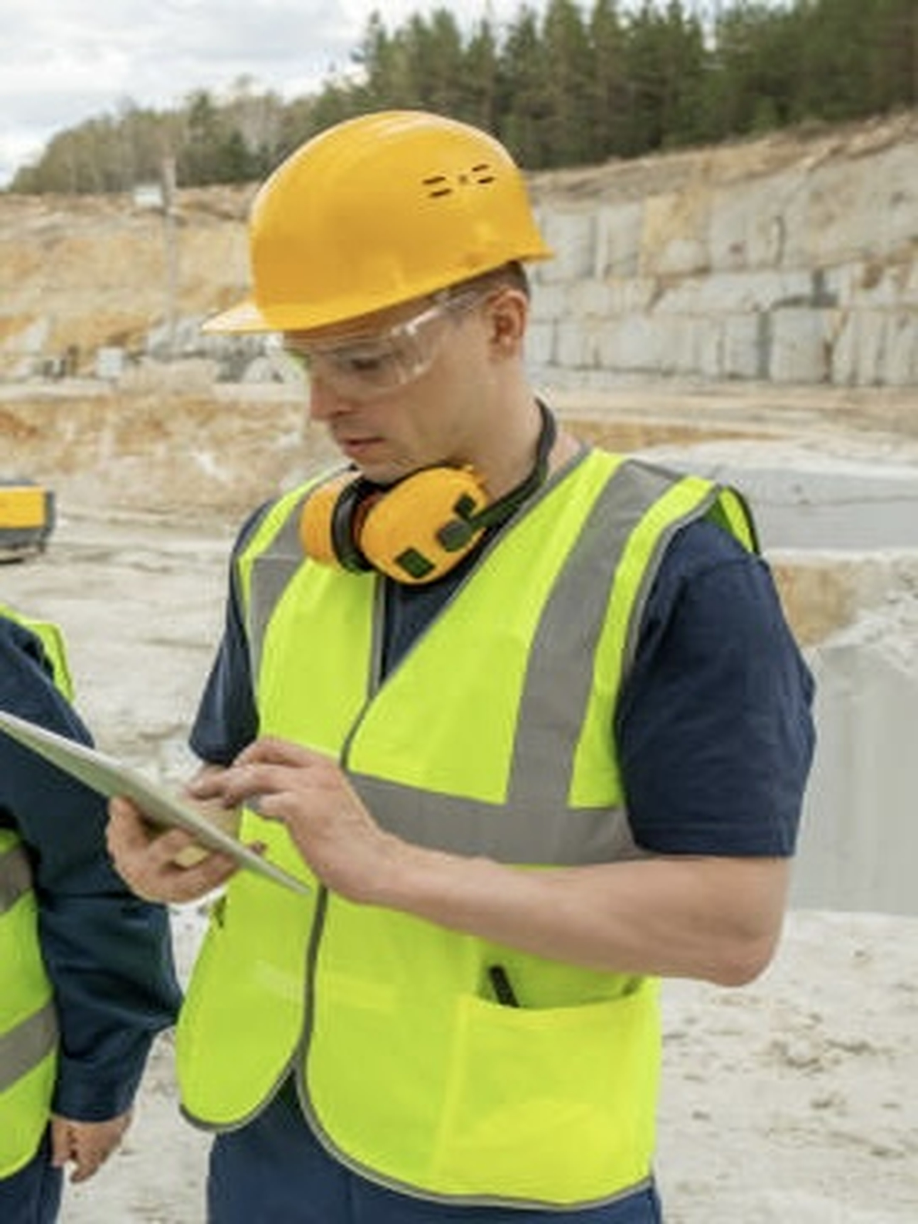
At Rosak Geo-consult, we deliver precise and innovative surveying solutions that drive sustainable growth.
Our expert team combines integrity with advanced technology to provide insights that shape development.
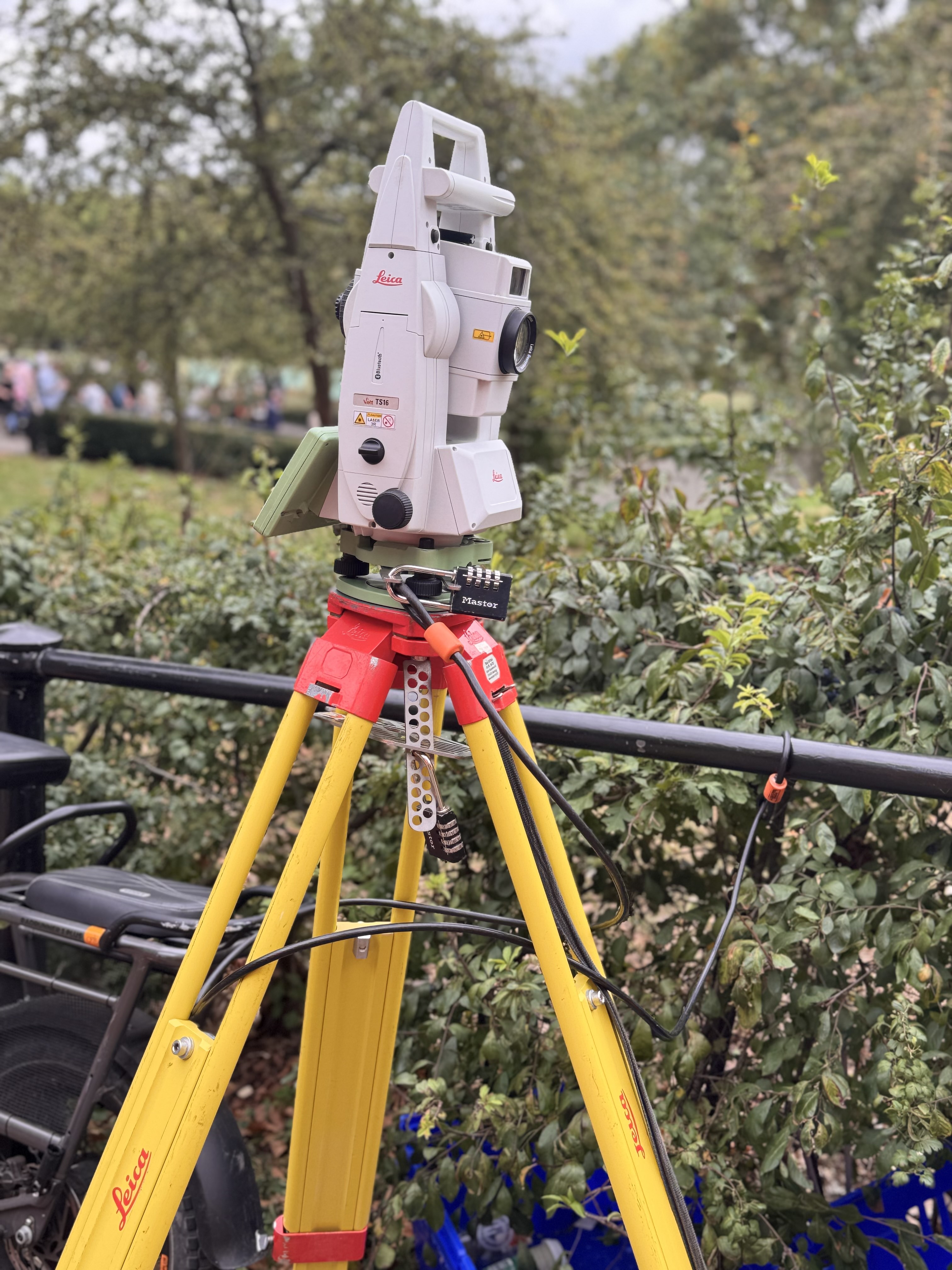
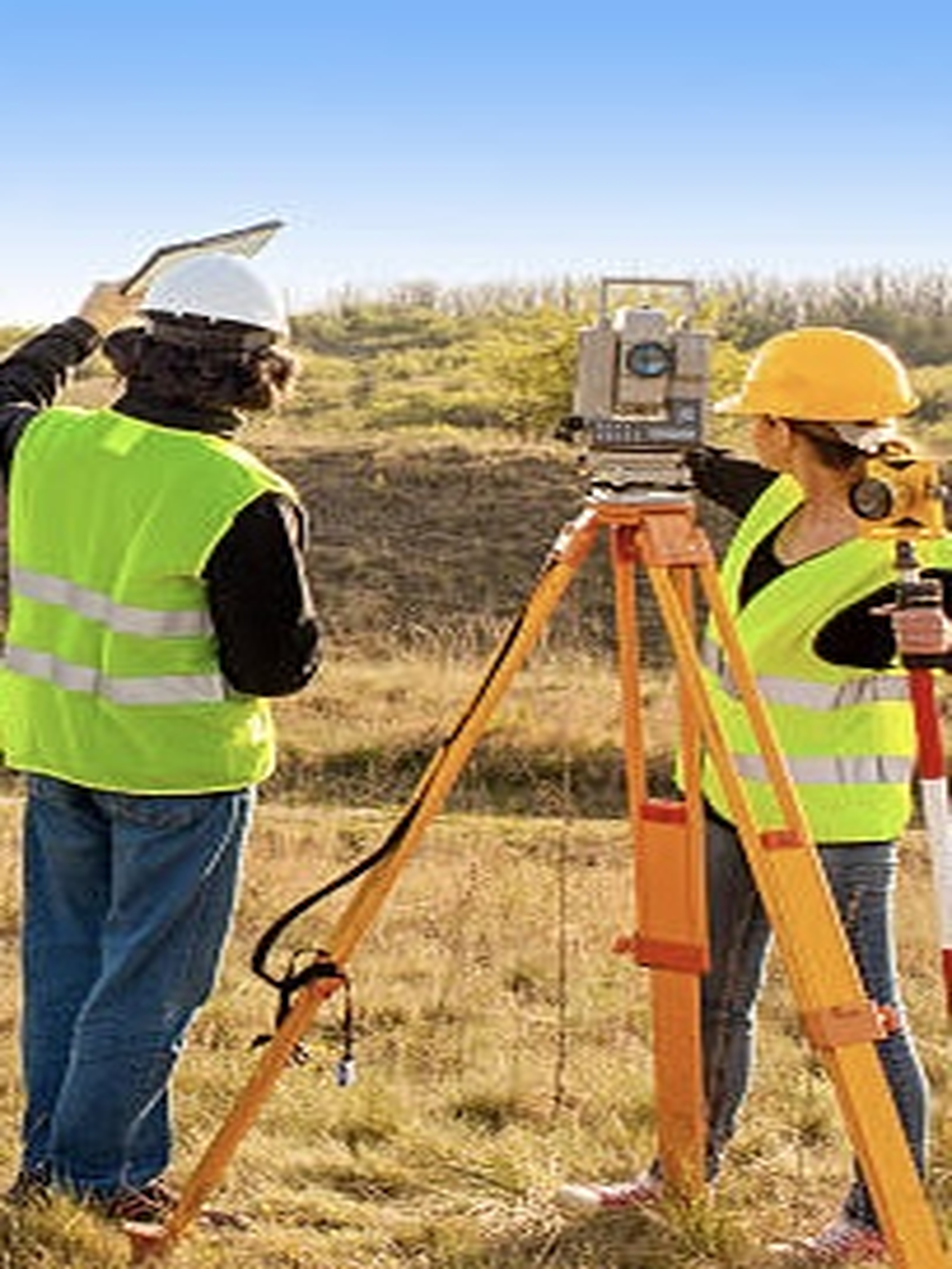
Accurate measurements and mapping for property and infrastructure development.
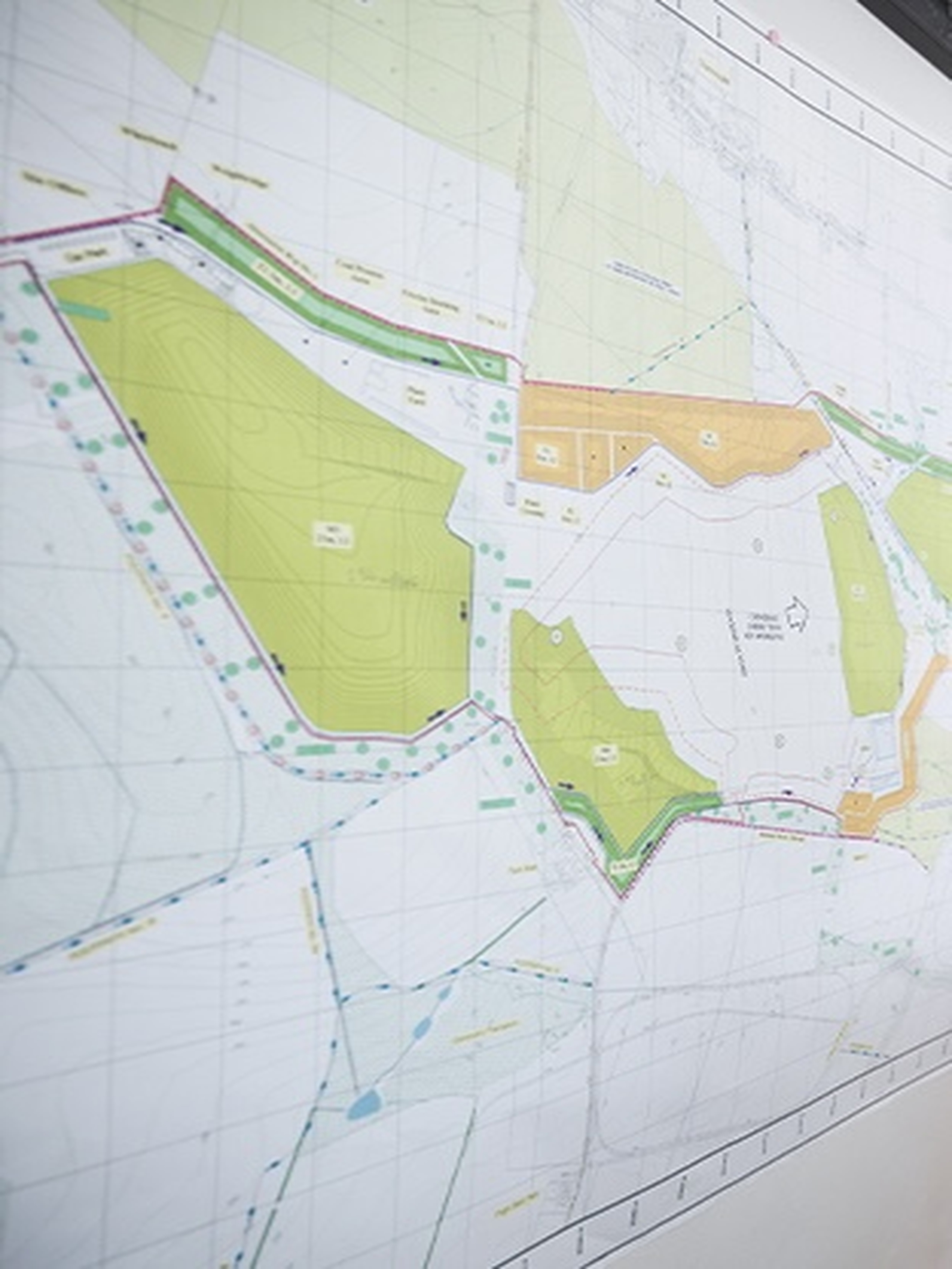
Geographic Information Systems for spatial analysis, planning, and data visualization.
Detailed terrain data for design, planning, and engineering projects.
Precise control and monitoring for construction and infrastructure works.
Legal and accurate definition of land boundaries and property lines.
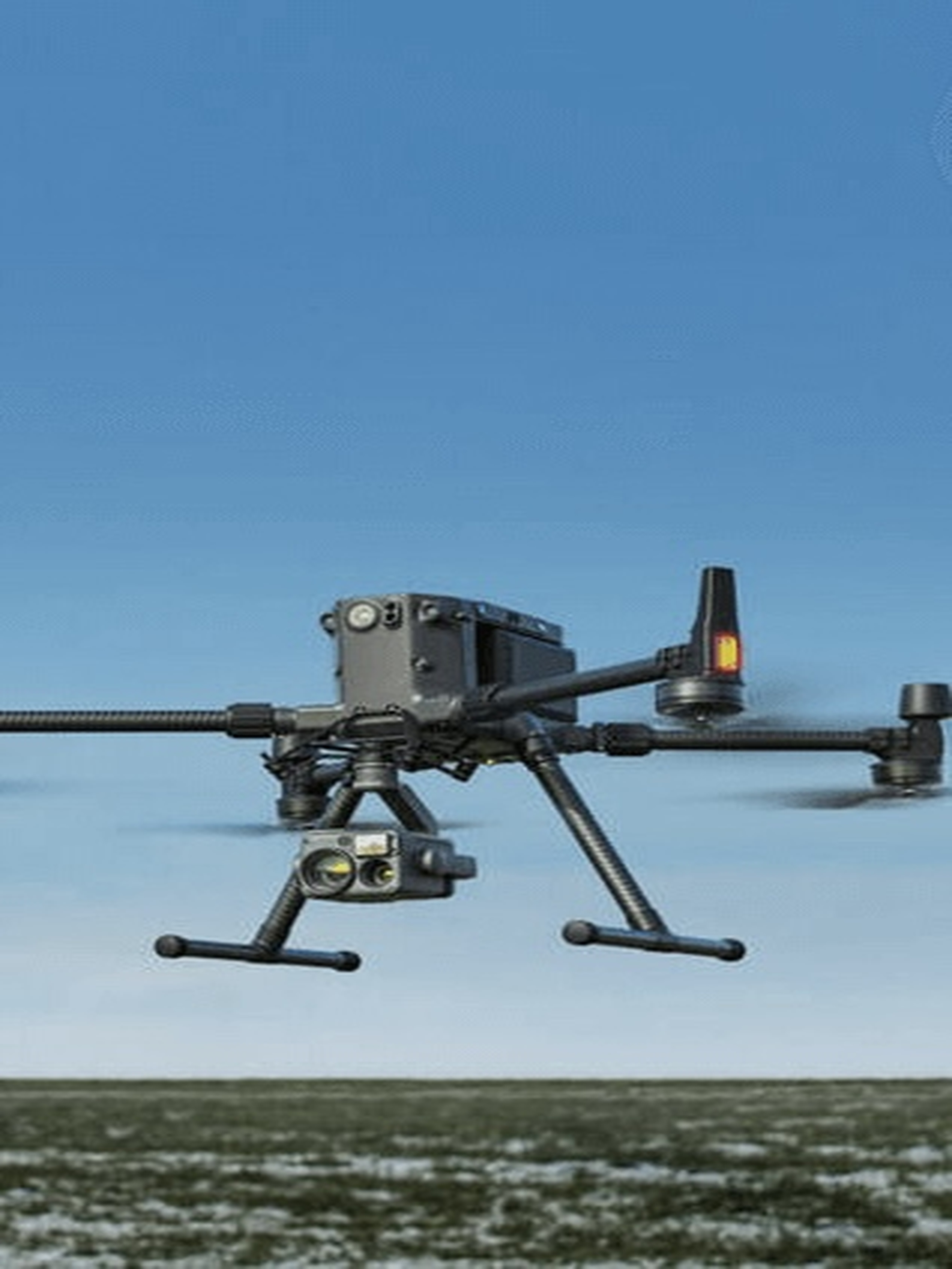
High-resolution aerial imagery and mapping using drone technology.
Founded in 2022 to bridge traditional surveying with modern geospatial technology, we deliver data-driven insights for sustainable development and empower young surveyors.